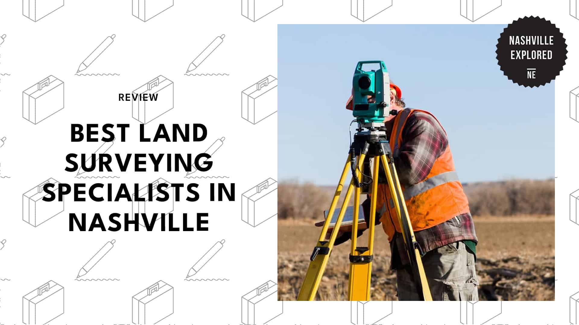
Ever tried deciphering a decades-old property deed while your neighbor glares at you across a contested fence line? It’s not exactly a fun way to spend a Saturday.
Figuring out property lines and confusing zoning laws around Middle Tennessee can quickly turn into a massive headache for any homeowner or builder.
So, finding a top-notch land surveying firm in Nashville means teaming up with licensed pros who truly grasp the area’s specific urban growth and tricky terrain.
No need to worry, though! I’m here to share the top local teams who can help you with basic residential mortgage checks or accurate mapping evaluations. Read on to know more!
How much does land surveying in Nashville cost?
In the Nashville area, the cost for a land survey typically ranges from $500 to $1,500 for standard residential properties, depending heavily on the level of detail required for your specific project.
| Survey Type | Estimated Cost |
| Boundary Survey | $300 – $900 |
| Fence Survey | $200 – $1,200 |
| Topographic Survey | $400 – $1,500 |
| Mortgage Survey | $200 – $700 |
| ALTA/NSPS Survey | $1,200 – $4,000+ |
1. Nashville Land Surveying
Website: https://nashvillelandsurveying.com/
Address: 6339 Charlotte Pike, Suite 614
Contact: (615) 645-1404
Schedule:
- Mon-Fri 8:00 AM – 5:00 PM
- Sat 10:00 AM – 4:00 PM
Figuring out your exact property lines is a critical step before starting any construction. Nashville Land Surveying maps out these boundaries so you know exactly where your lot ends.
Before you hire any landscaping services in Nashville, getting an accurate map from this team is a smart move. This documentation prevents you from accidentally building on a neighbor’s property or violating local zoning laws.
The firm also delivers detailed boundary documents for both standard residential lots and large plots of land. Just note that they focus primarily on residential properties, though.
Plus, their team handles the physical marking on the ground to ensure your project complies with city rules. They also provide topography mapping and elevation certificates, which are often required for new home construction.
Adding to the convenience is their Saturday hours, making them an easy choice for homeowners who cannot meet during the work week.
2. Chesnut Land Surveying LLC
Website: https://chesnutsurveying.com/
Address: 2828 Old Hickory Boulevard
Contact: [email protected]
Schedule: Tues-Fri 9:00 AM – 3:30 PM
Getting clear answers about your home’s boundaries usually takes a pro who’s willing to dig deep into history. At Chesnut Land Surveying LLC, their crew maps things out so thoroughly that there is zero guesswork left for you.
When I needed to check an old property line for a family estate, chatting with their team showed me just how deep their deed research really goes.
For instance, they even pull historical county records to place every single stake right where it belongs. They also team up with soil scientists for septic planning and drop physical wooden stakes, so you know exactly where to build that new fence.
Just keep in mind that they operate four days a week, with shorter daily hours. This schedule could stretch out your timeline if you’re in a rush.
Even so, their topographic elevation data is super reliable for tricky drainage projects. They’re a fantastic pick if you care more about precision than speed.
Customer Reviews
Did an amazing job with the boundary survey
Susan was very professional and took the time to explain all my questions I had and even accommodated her schedule multiple times to best fit mine. She did an amazing job with the boundary survey and would recommend her if anyone needs someone to get the job done well. Thank You Susan !
- Carlos Angeles Solis | Google Review
Worked hard to give us an excellent survey
Susan was amazing! She worked with us to get in her schedule as soon as she could, and was such a pleasure as she worked hard to give us an excellent survey and all the paperwork, She dealt politely with our chatty neighbors, too. Absolutely would recommend her (and I already have, in fact, to many people, including a Landscaping company!).
- Jackie Gamber | Google Review
3. Clint Elliott Survey
Website: https://www.clintelliottsurvey.com/
Address: 1414 3rd Avenue South, Suite 103
Contact: (615) 490-3236
Schedule:
- Mon-Thurs 8:00 AM – 5:00 PM
- Fri 8:00 AM – 12:00 PM
Tackling large commercial layouts requires a team of licensed professionals and Computer-Aided Design (CAD) technicians. Clint Elliott Surveying handles exactly this kind of complex mapping, which is perfect for major construction projects.
Their internal field crews specialize in producing American Land Title Association (ALTA) maps, which are essential for commercial real estate transactions.
These detailed maps help ensure accurate construction staking and help developers follow strict site plans.
Notably, the firm’s expertise in high-stakes projects is demonstrated by its history of completing major contracts for the Department of Transportation (DOT).
On the downside, since they’re heavily involved in large government and commercial contracts, they may have limited scheduling flexibility for small residential requests.
If you only need a quick lot check for a home project, you might have a difficult time booking them.
But if your project requires strict technical compliance and public sector experience, their licensed experts provide thoroughly vetted boundary documents.
Customer Reviews
Highly recommend
Clint Elliot Survey was a referral from a family member and we had a great experience. Our team really relied on their market knowledge which speaks volumes trying to get through the permit process in Nashville. Highly recommend and look forward to continuing the relationship with them.
- Neil Chrisp | Google Review
His survey and development layout sheets are of the highest quality
We have worked with Clint Elliot Survey for several years. Clint really understands how to put a team together and get a development moving forward. His survey and development layout sheets are of the highest quality. He is a solid and trustworthy person and we look forward to continuing to work together.
- Lord and Winter | Google Review
4. Jesse Walker Engineering

Website: https://www.jesse-walker.com/
Address: 125 Belle Forest Circle, Suite 107
Contact: (615) 646-8228
Schedule: Mon-Fri 8:00 AM – 5:00 PM
Finding a firm that handles both civil engineering and property measurement is a benefit for site planning, and Jesse Walker Engineering does just that.
They manage projects that require both detailed design and accurate mapping. Their team also specializes in utility and roadway design, linking these elements directly to property measurements.
I recently chatted with a local developer who used their services for a new subdivision, and he praised the direct oversight provided by the principal engineer. This personal attention guarantees the physical land matches the strict engineering blueprints.
Knowing your exact property lines is a critical step before finalizing a site layout. For example, it’s essential to have an accurate map before you hire a security company to install perimeter fences or cameras around a commercial lot.
Since their advanced approach is geared toward massive projects, their services are probably way more robust than you actually need if you just want simple boundary markers for a backyard fence.
5. L. I. Smith & Associates, Inc.

Website: https://lismith.com/
Address: 475 Metroplex Drive, Suite 212
Contact: (615) 256-0290
Schedule: Mon-Fri 8:00 AM – 5:00 PM
Bringing 50 years of industry experience to the table, L. I. Smith & Associates, Inc. easily tackles large commercial development with their cutting-edge tech. For instance, they use high-definition 3D laser scanning to map out complex infrastructure.
Rather than relying solely on standard hand measurements, this crew builds fully digital 3D models of massive job sites. By flying drones and creating georeferenced point-cloud models, they can produce incredibly detailed mapping.
They’re also licensed to provide extensive coverage throughout the Central and Southeast regions of the United States. With this, they can handle massive civic projects requiring absolute precision.
However, because of their huge multi-state operations, getting a surveyor out to your house might take longer for simple residential inquiries.
But if you have a massive project that needs high-density data, their digital tools are exactly what you need.